
Greece
Greece is a land steeped in historical importance, archeological treasures, and exquisite views. This beautiful country is considered to be the birthplace of democracy, philosophy, mathematics, and astronomy. As a cradle of civilization, the country is home to an abundance of significant destinations to explore. In addition to its rich cultural heritage, Greece’s geography and climate create stunning natural attractions drawing tourists from all over the world.
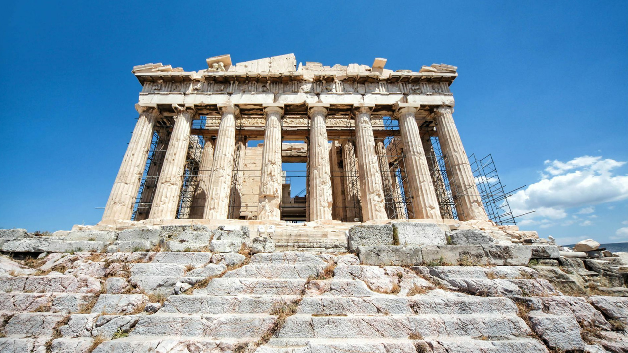
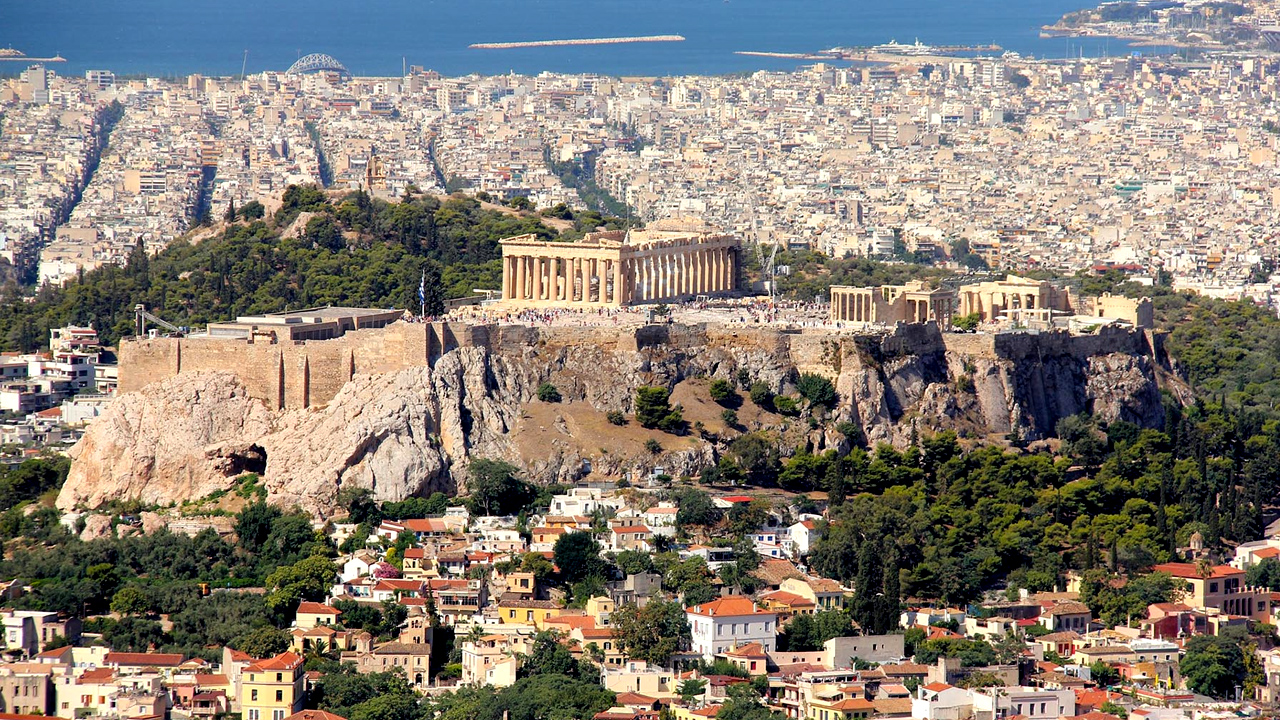
Tours begin in Athens, the capital of Greece, where vast archeological wealth lies amongst pristine beaches and captivating scenery. Athens boasts a plethora of museums, art exhibitions, theatres, and cultural activities. The historical city center has been transformed into a pedestrian zone where visitors can explore world-famous sites such as the Parthenon, the Temple of Olympian Zeus, Hadrian’s Arch, the Ancient Theatre of Dionysus, and the Tower of the Winds. The picturesque Plaka district is nestled among the slopes of the Acropolis. In the shadow of the ancient temples, one can stroll through the labyrinth of cobblestone streets admiring the neoclassical architecture that gives this “Neighborhood of the Gods” its extraordinary character. After exploring the awe-inspiring landmarks of history and enchanting neighborhoods, the bustling nightlife of Athens is not to be missed. Charming boutiques and restaurants fill the city, showcasing Greek hospitality and tasty cuisine. Music fills the air and dancing until morning is commonplace.
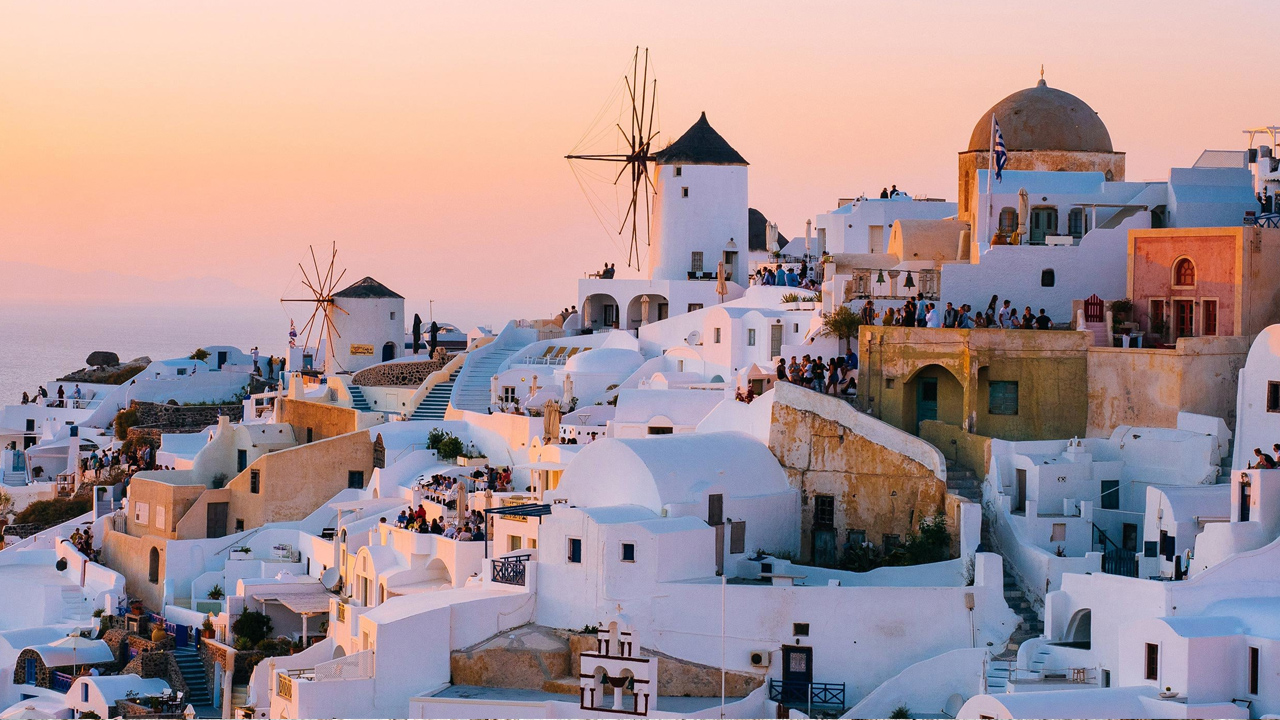
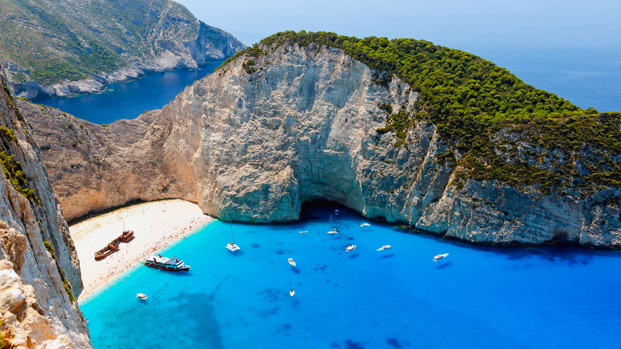
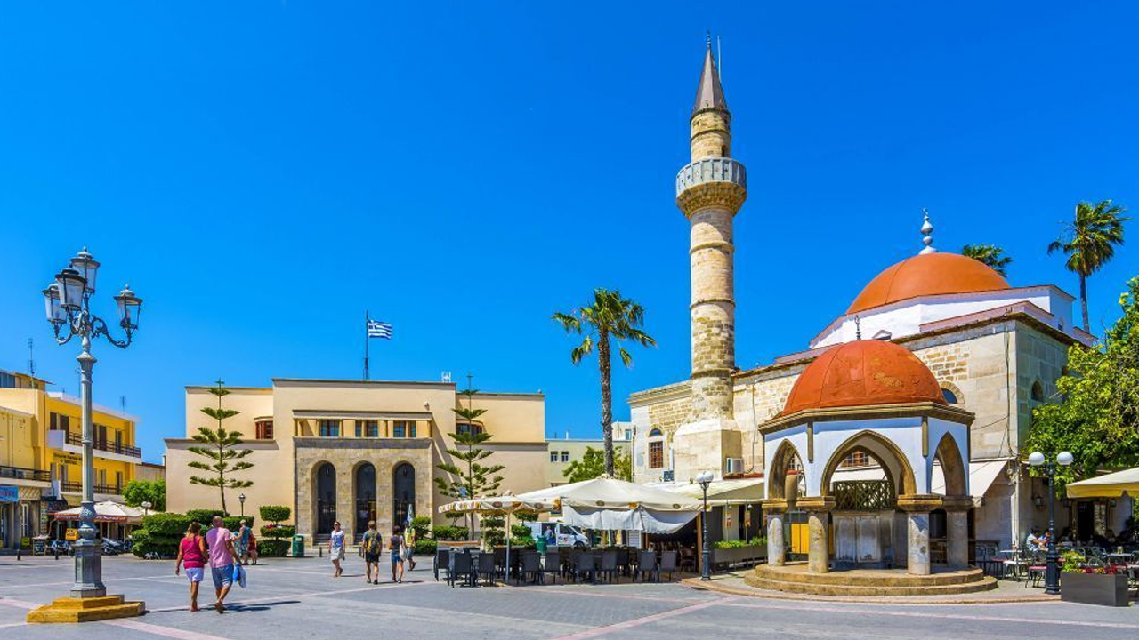
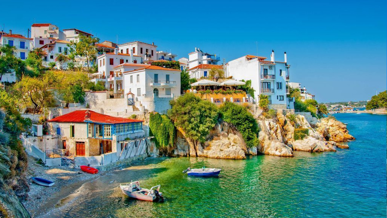
In addition to Athens, visitors enjoy cruising among Greece’s 227 inhabited islands, each with its own unique identity and allure. Crete, the largest island, is brimming with historical significance and landmarks to explore. Cosmopolitan islands such as Mykonos and Rhodes are known for their stunning beaches and boisterous nightlife. Watching the sunset over the white-washed buildings and rocky landscape of Santorini is nothing short of magical. Exploring the captivating seaside towns sprinkled through the azure waters of the Aegean and Ionian seas is a breathtaking experience to enjoy.
From exquisite beaches and enchanting villages to some of the world’s most important historical landmarks, a journey to Greece is sure to provide a life-changing adventure.